anvaka github io city roads
Explore a city by name and watch its roads appear as a WebGL map from OpenStreetMap data, then tune colors or export the view as PNG or SVG.
Screenshots
Overview
Product Overview
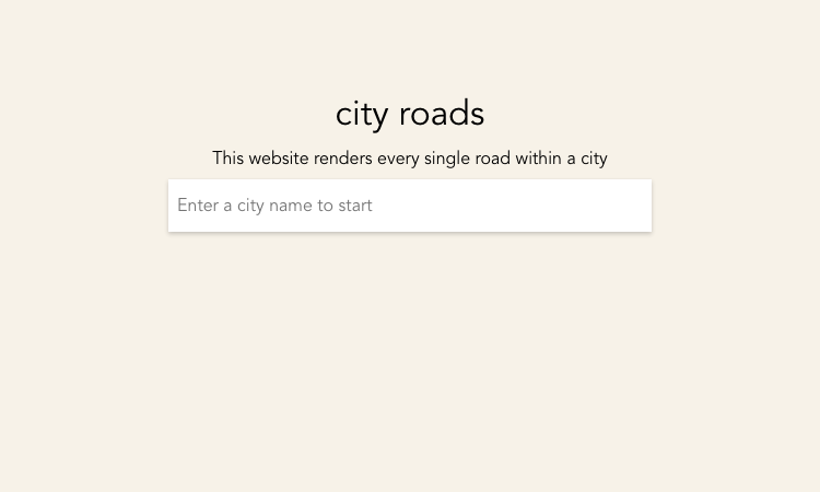
city roads is an interactive browser visualization for exploring a selected city's complete road network. The site accepts a city name, lets you choose an available administrative or city boundary, and renders the roads as a map-like composition. The official page explains that it downloads roads from OpenStreetMap and renders them with WebGL.
Core Features
- Search for a city and select a matching boundary before loading its roads.
- Render the selected road network in a WebGL canvas with the city name and OpenStreetMap attribution.
- Customize the colors for road lines, the background, and labels.
- Export the current screen as a raster PNG or vector SVG.
- Open a mug-printing option for a favorite city composition, or try another city from the same page.
How to Use
- Enter a city name in the start field.
- Choose an administrative or city boundary from the returned options.
- Wait while the page connects to its data source and draws the roads.
- Use Customize to tune the display, then export the current view as PNG or SVG if needed. The page warns that large cities may require 200MB or more of data transfer and a powerful device.
Best For
Use city roads to explore the visual structure of different city road networks, create map-inspired PNG or SVG assets, or prepare a city-road design for the optional mug route. The page also links to the project's source code for people who want to inspect the implementation.
Pricing and Access
The site runs directly in a browser without a sign-in flow. No paid plans or published subscription prices were shown during review, so this listing is classified as free. Optional coffee or Patreon support is mentioned, but the page says it is not required.